It has been a big emotional week! Our mission was to use the northerlies to dash south, scatter Bengie’s ashes and let her roam forever at Key Island Bay on Cape Barren Island, then get back to Lakes Entrance.
Here is a sat map of our dash south and back while the weather conditions allowed.
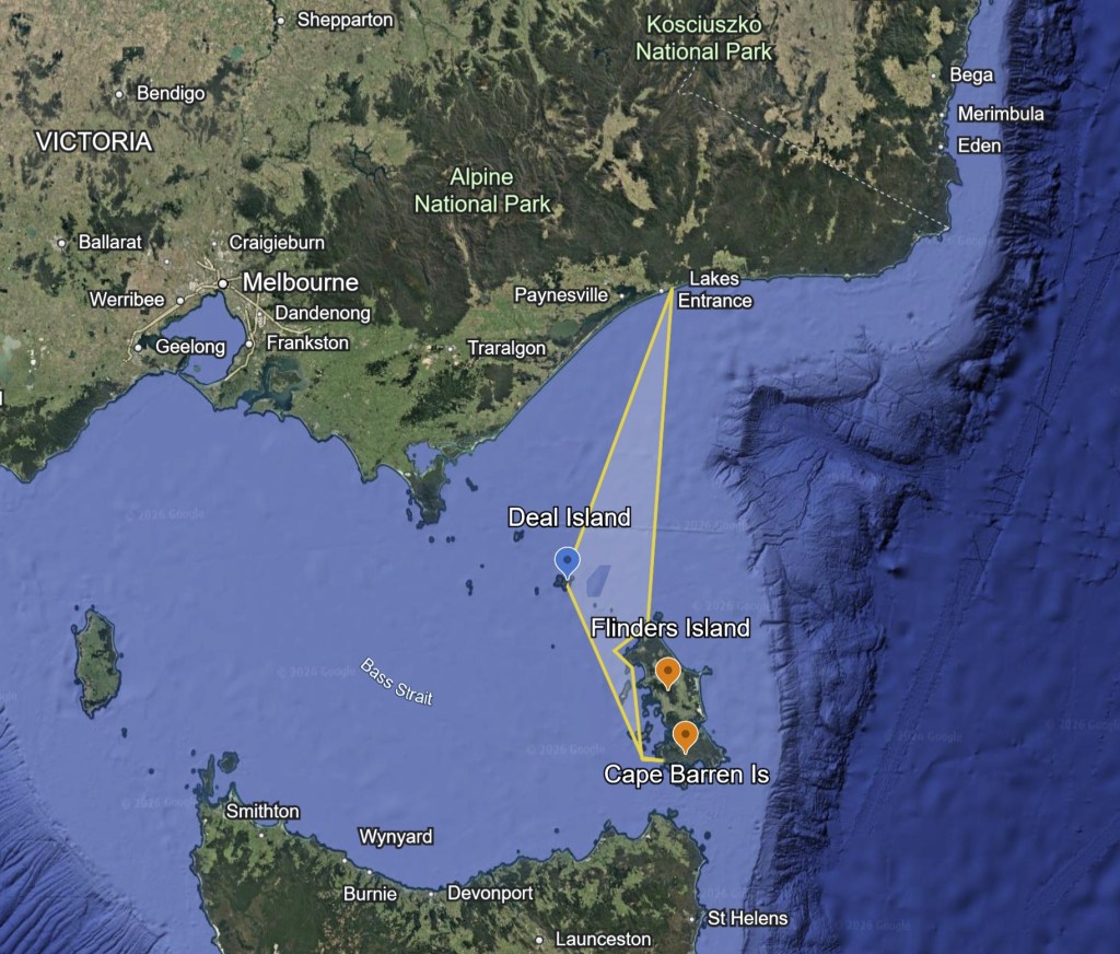
Lakes to the Bass Strait Islands
It was another awfully early departure at 2.30 am from Lakes Entrance on Saturday, to cross the bar and head out to Deal Island, 100nm away.
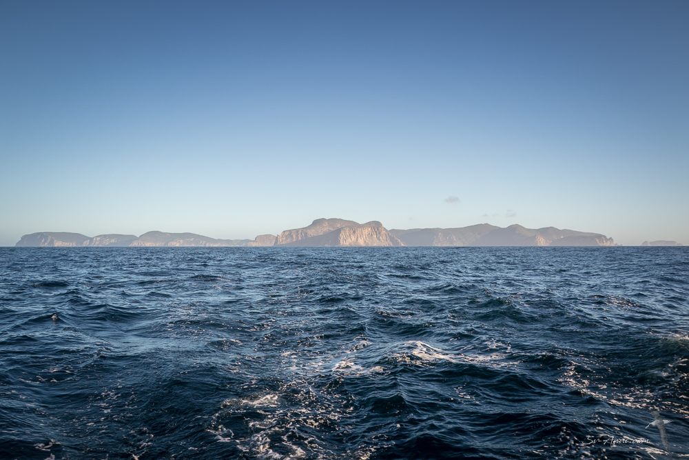
Bass Strait was its usual self, a little confused after the strong winds. But we managed a steady pace, initially under engines, then we raised the main and screecher and sailed through to Deal Island. It is a familiar run, not our fastest, but good enough. Part of the way through the passage, you start studying the horizon to see if you can spot the distant isles of the Kent group. It starts with just a hint of a shadow over the ocean, and you are not quite sure whether it is Deal and Erith islands or just your imagination. But as you slowly get closer over a few hours, the distinctive bluffs appear more and more clearly and imposing. We reached East Cove on Deal Island by 5pm, sharing the anchorage with another yacht for the night.
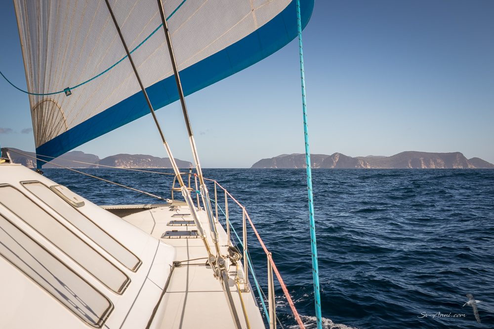
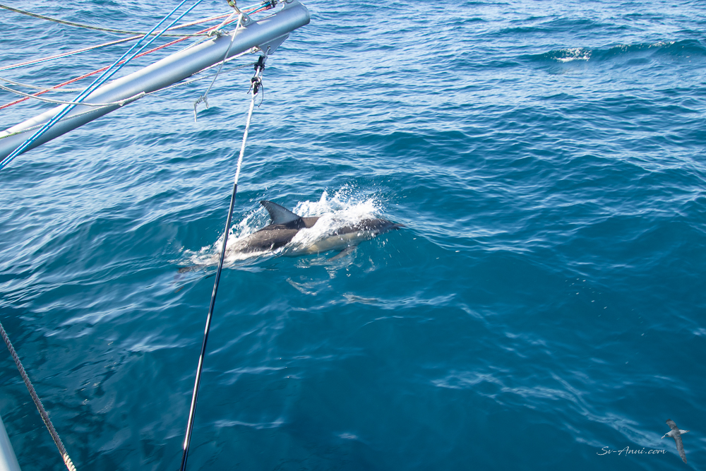
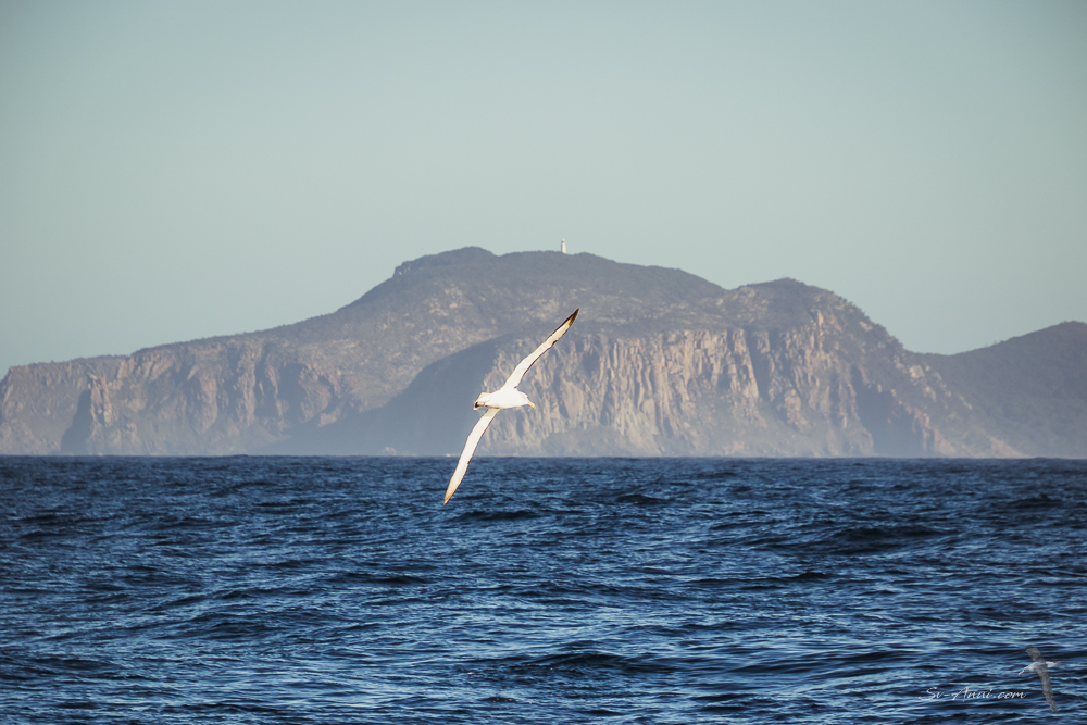
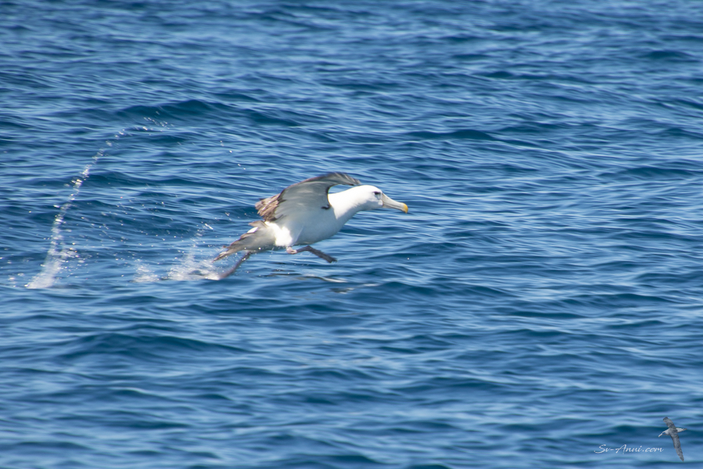
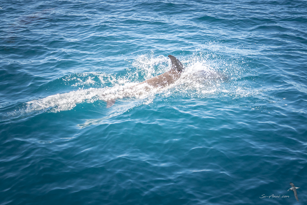
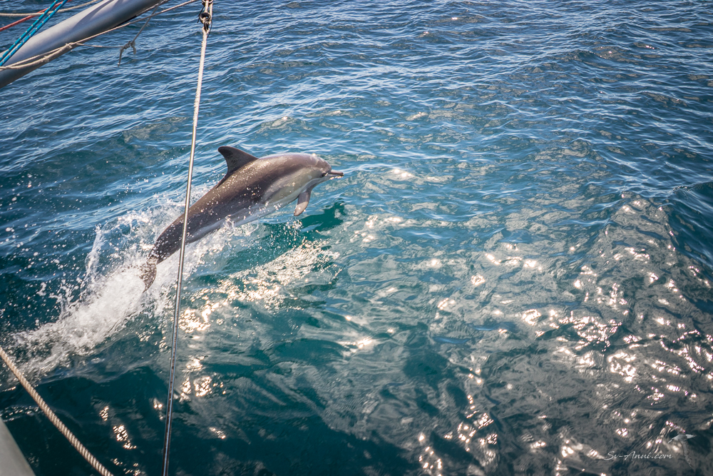
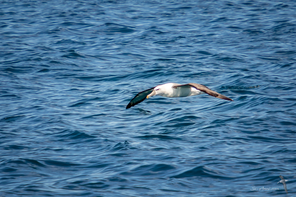
Sunday was a kinder 7.00 am start in brilliant sunshine, clear skies and steady breeze to sail straight to Key Island Bay, a 68nm passage. As always, albatrosses were soaring, a magnificent sight against the rugged bluffs, and the dolphin families with babies in tow would ride at our bows for a while, then disappear.
Key Island Bay – Cape Barren Island
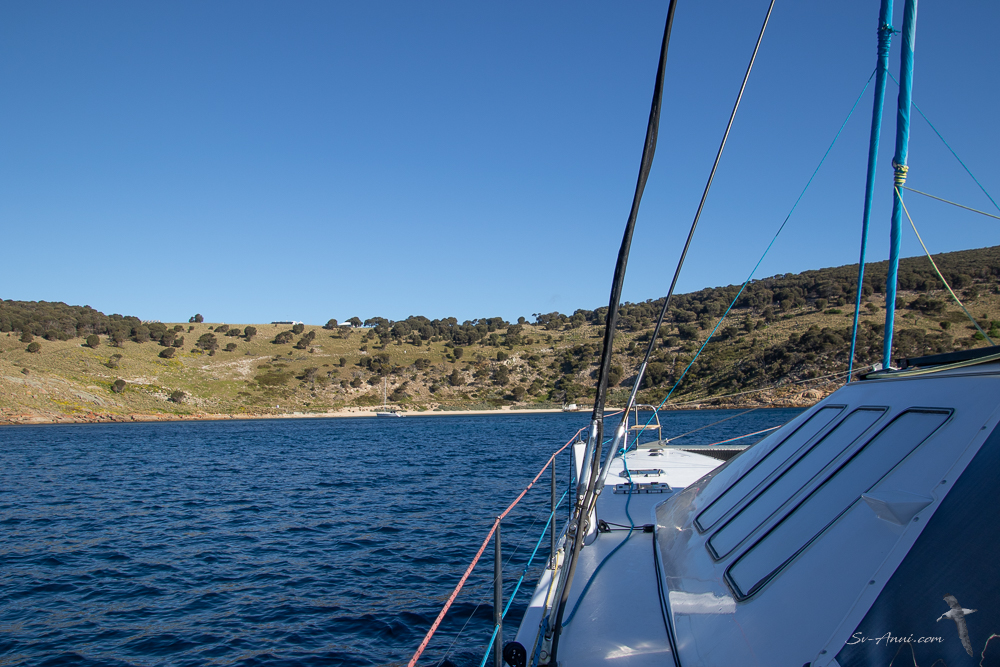
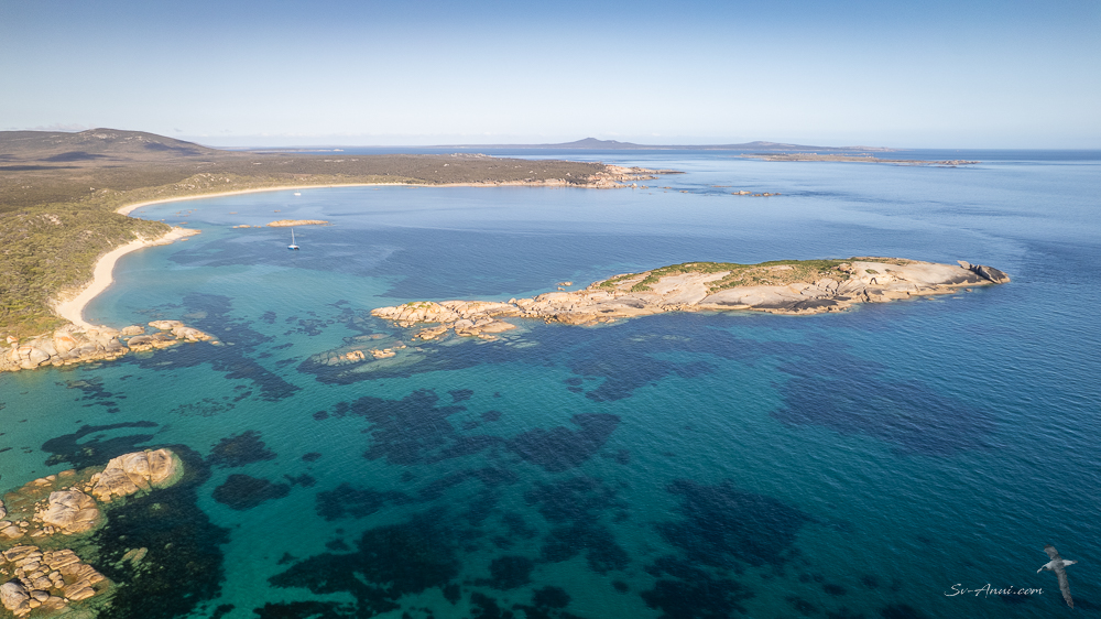
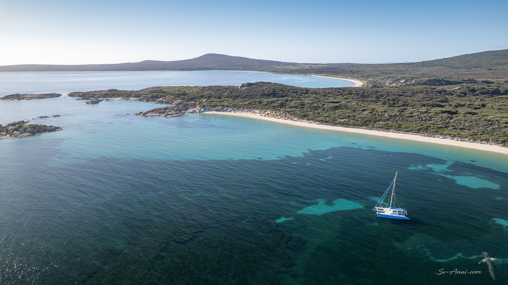
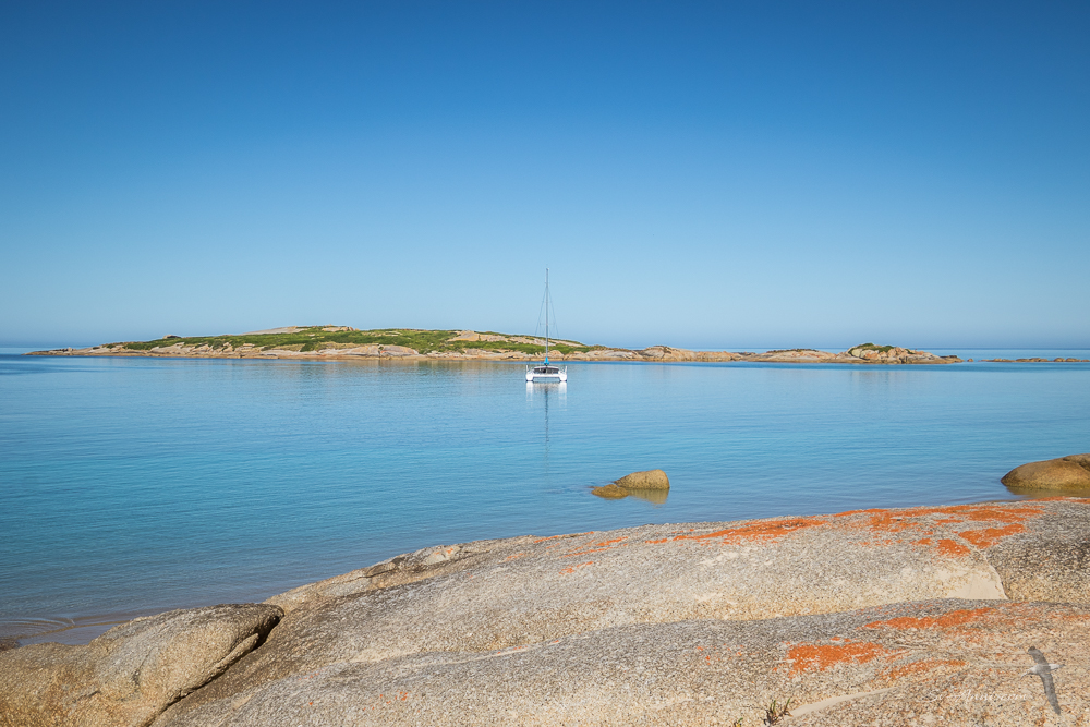
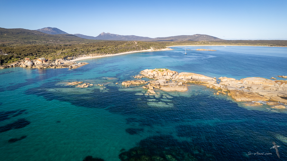
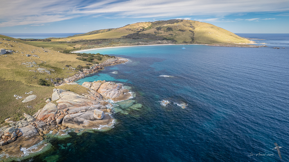
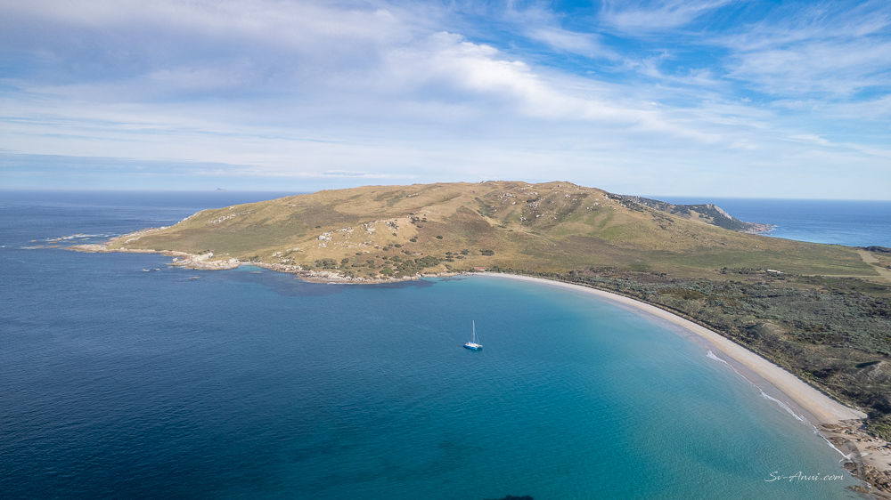
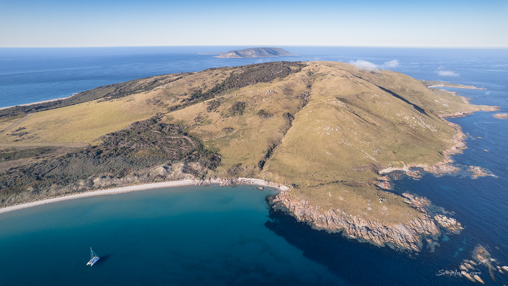
We reached Key Island Bay by 5.00pm and anchored in our usual spot in a sand hole behind Key Island, rather than along the main beach. It is always a little nerve racking to drop the pick in the shallow sand patch and hope you still float at low tide over the seagrass meadows. There is not a lot of margin!
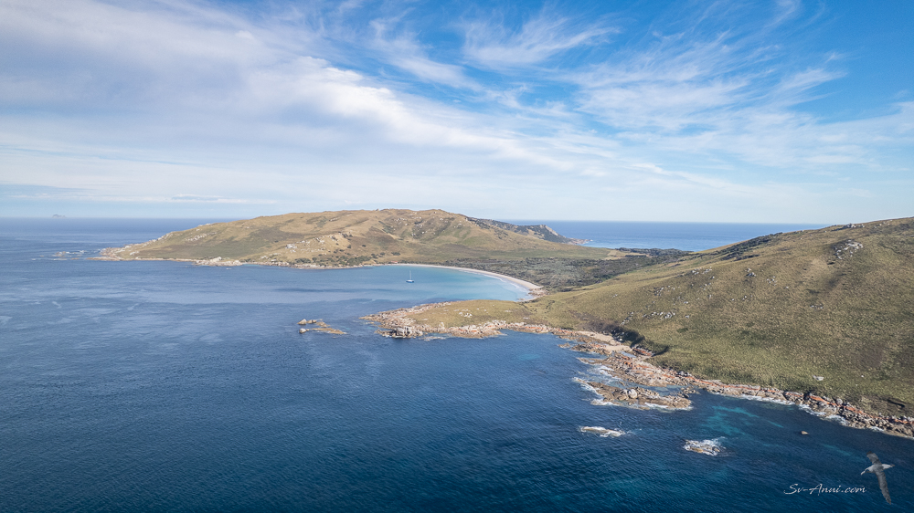
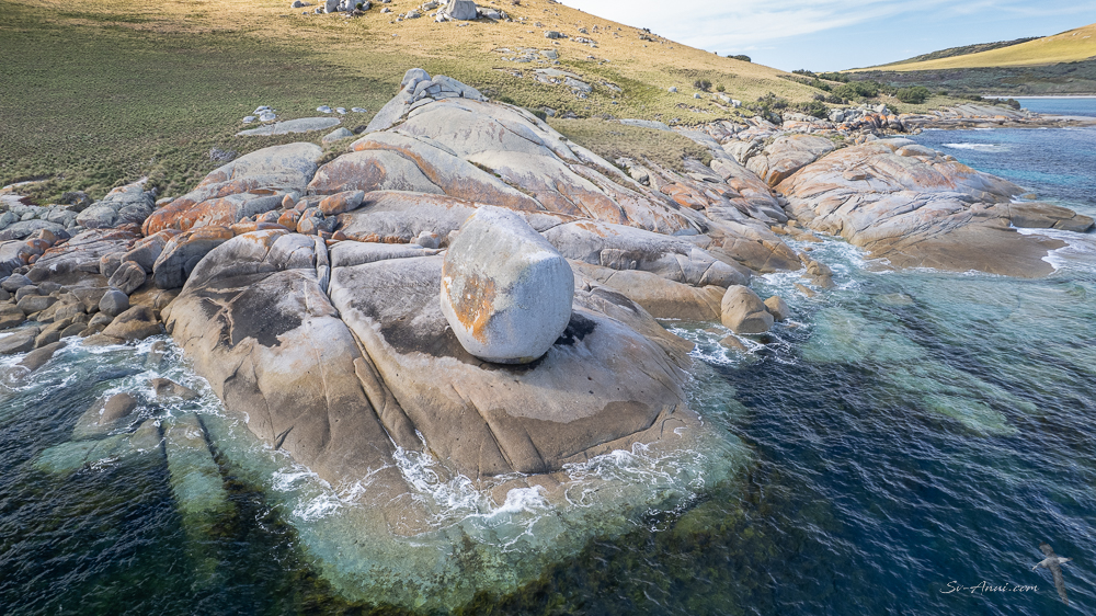
These aerial shots give you an idea of how beautiful this spot is. We so like it there!
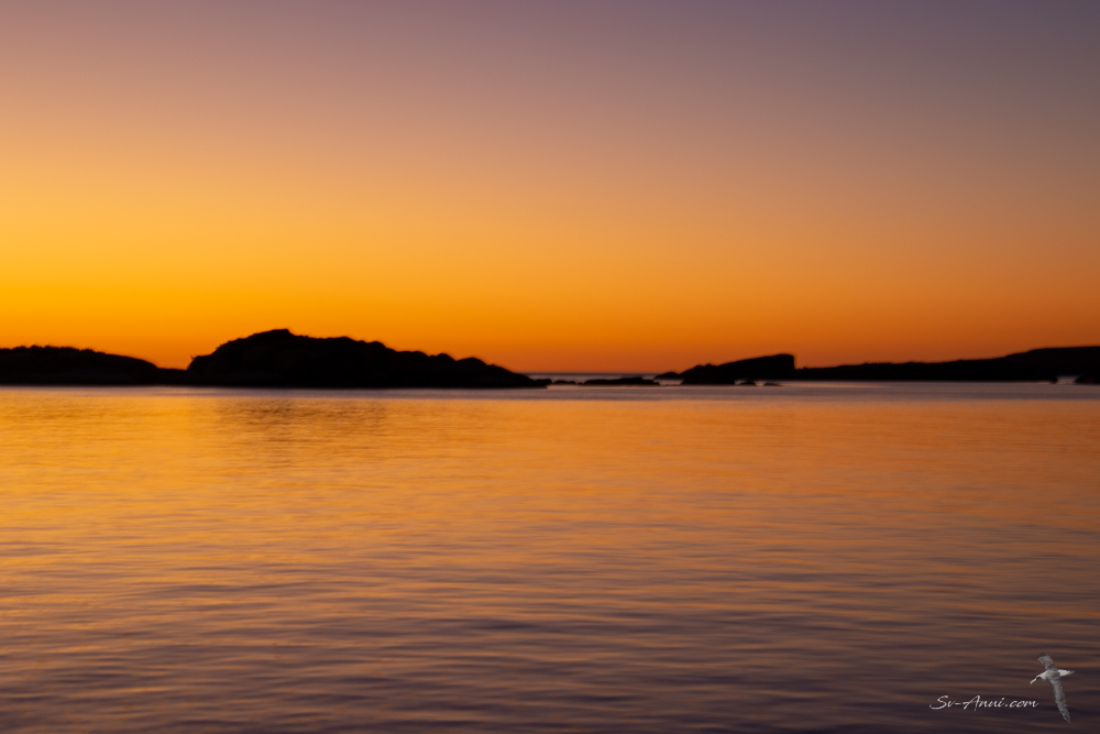
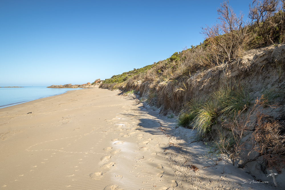
The next morning, it was time to do what we had come here for: scatter Bengie’s ashes on the beach, then go for a long walk: sad but cathartic. Her resting place will forever be known as Bengie’s Beach.
Why Key Island Bay?
People ask why Key Island Bay. Those of our friends who have been there with us understand. It is a place of treasured memories. It’s wild, off the beaten track, different to anywhere else, with the most unlikely anchorage away from the main beach, in a sand hole surrounded by sea grass. The bay is full of rocks and when we anchor in our special spot, from the main beach it looks like we have weaved our way through granite boulders. Key Island Bay is exposed in the prevailing westerly, but heavenly in a NE. It is a truly unique place to come to. There is a lot of history for us here too. Ever since Bengie was a kitten, we have visited this place with her multiple times. She enjoyed the short dinghy ride from the boat to the beach, loved to sprint along the sand, dig holes, climb up the little dunes, chew on the salty grasses. We used to visit the islands and this site in particular when we were still working and holiday cruising. It started on Medina, then Take It Easy and later Anui. The islands were our playground and still hold a special place in both our adventurous hearts.
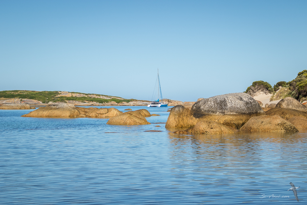
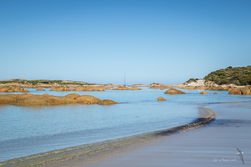
Ever since we first discovered this hideaway over 20 years ago, we have held it as one of our favourite anchorages, with superb beach walks, beautiful snorkeling and a serene feel. It’s a nice place for Bengie to roam forever. It’s funny too with that rock we irreverently call ‘The Bum’. It makes us smile everytime we see it.
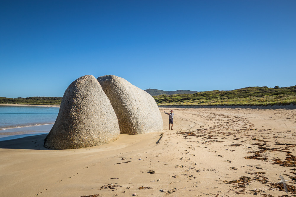
We’ll tell you a little story. In QLD there is a cruising group called ‘the Shag Islet Cruising Yacht Club’. It was formed by Ken & Rhonda Thackeray in 2009 as a tongue-in-cheek response to yacht club elitism after Ken was not allowed into a traditional yacht club because he was neither a member nor a flag officer of a fleet. The Shaggers Club, as it is affectionately called, has no physical clubhouse, no corporate hierarchy, and no paid employees. Instead, every member is playfully granted the title of Vice Commodore for their own special location. When we joined, Wade chose to be the Vice Commodore of Bittangabee, another brilliant spot, and Chris chose Key Island Bay.
Chris also decided years ago that when she kicks the bucket, she would like her ashes to be scattered at Key Island Bay. God knows how Wade will manage that… but it will be his problem as she fully intends to be the one to die first and the odds are with her! So you see, Bengie just belongs here too. No other spot would do.
Inner Sister Island discovery
Having completed our mission, a couple of hours before the low tide locked us in, we escaped out of Key Island Bay, bound for a new location: the Inner Sister Island. You navigate through the Stern Choppers to get there, a notorious narrow passage of fierce tidal rapids, powerful surges and massive eddies that can turn a boat around. Ask us how we know! It is located between the northern tip of Flinders Island and the Inner Sister Island. The bottom of the ocean there drops from an average depth in Bass Strait of 50m to 130m, making it perilous. But this time in calm conditions the Stern Choppers weren’t chopping, just grating a little!
We have anchored at the neighbouring Outer Sister before, however never at the Inner Sister, so it was nice to still discover something new to us in the Bass Strait Islands!
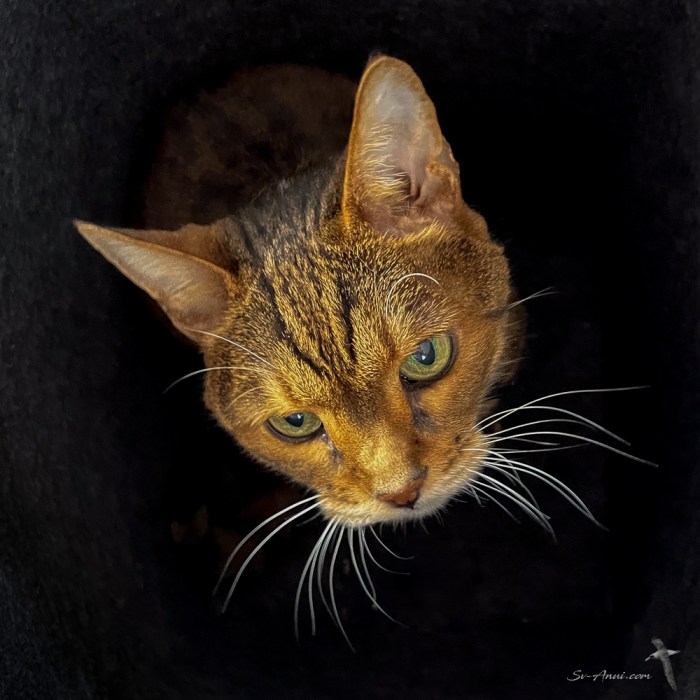
With our Bengie in her final resting place, that night we celebrated with a nice meal and a bottle of bubbly. We reminisced, told stories of the antics she used to get up to, shed a few more tears, but felt at peace. We had 191/2 wonderful years with her, from tiny kitten to old lady, but she always, always was fun, adventurous and lively. And she was bossy, cheeky, chatty, cuddly, a real personality. She was well loved and loved us back unconditionally. We miss her. She is irreplaceable.
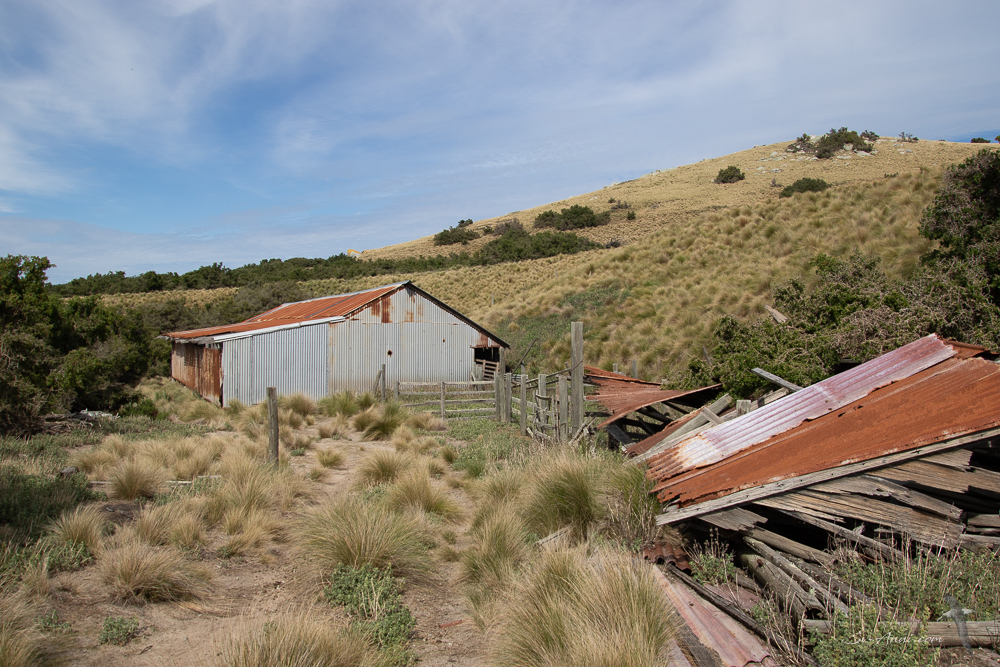
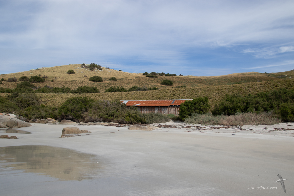
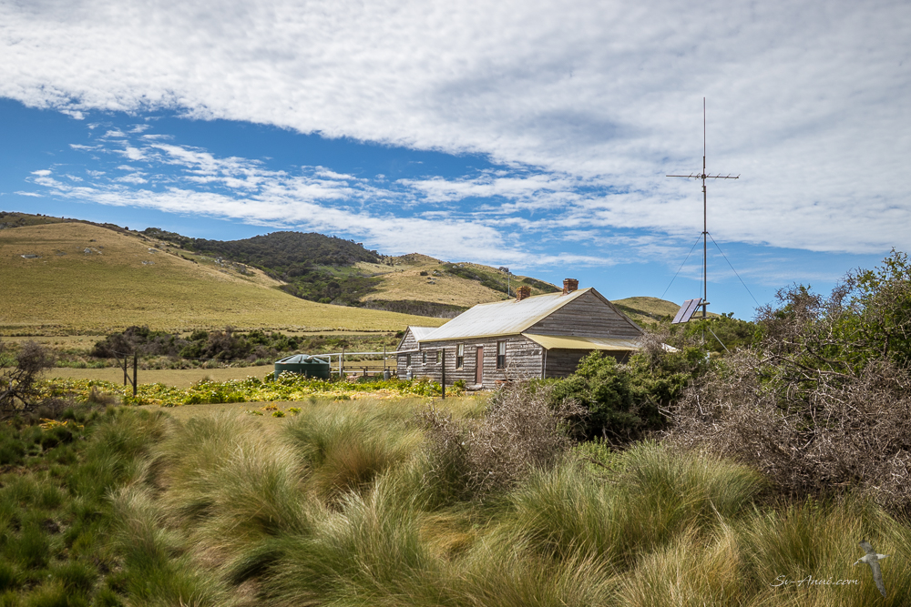
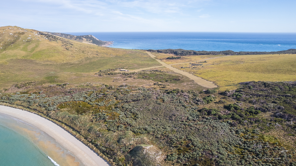
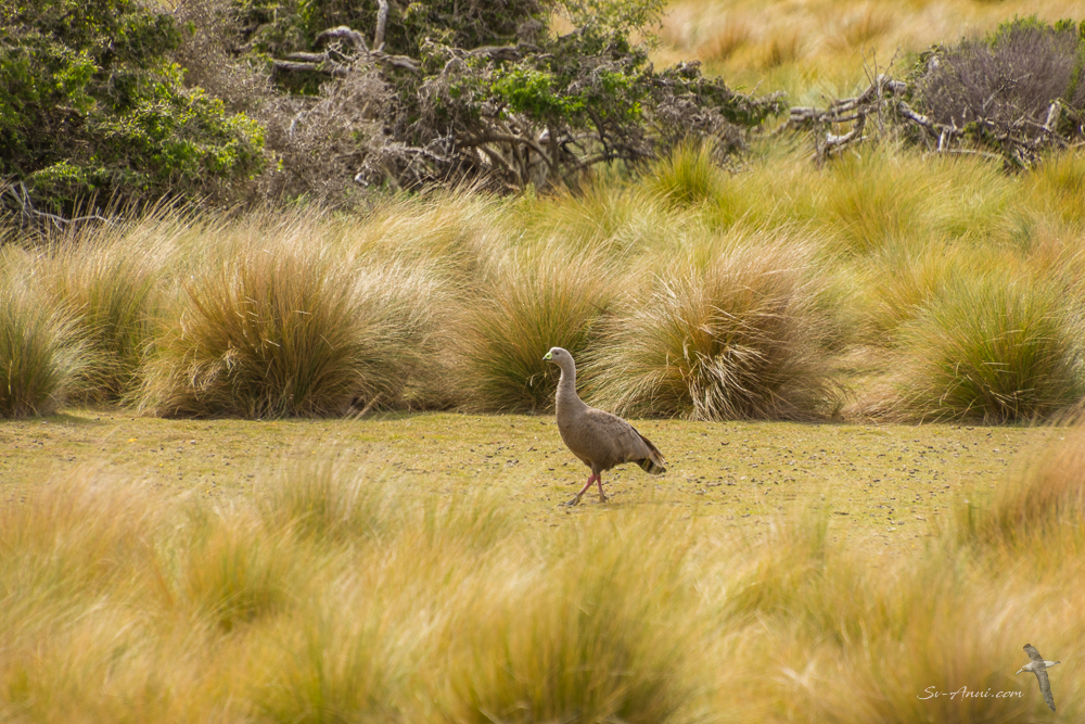
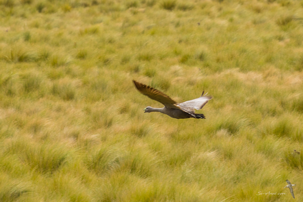
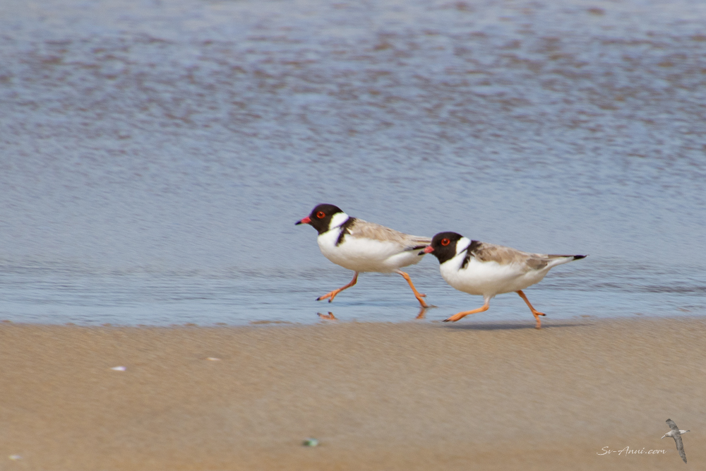
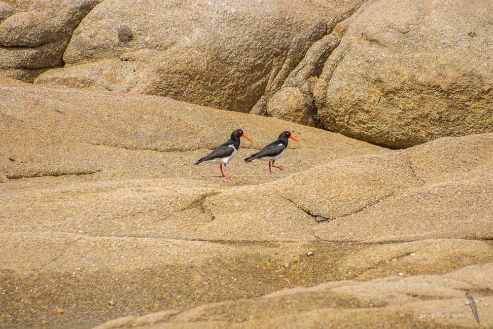
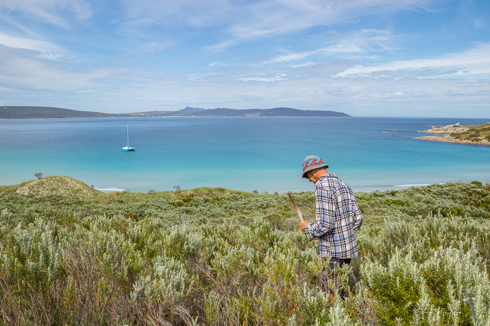
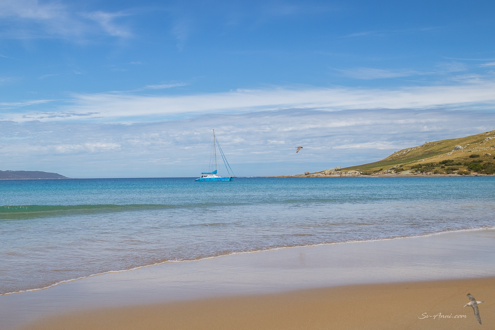
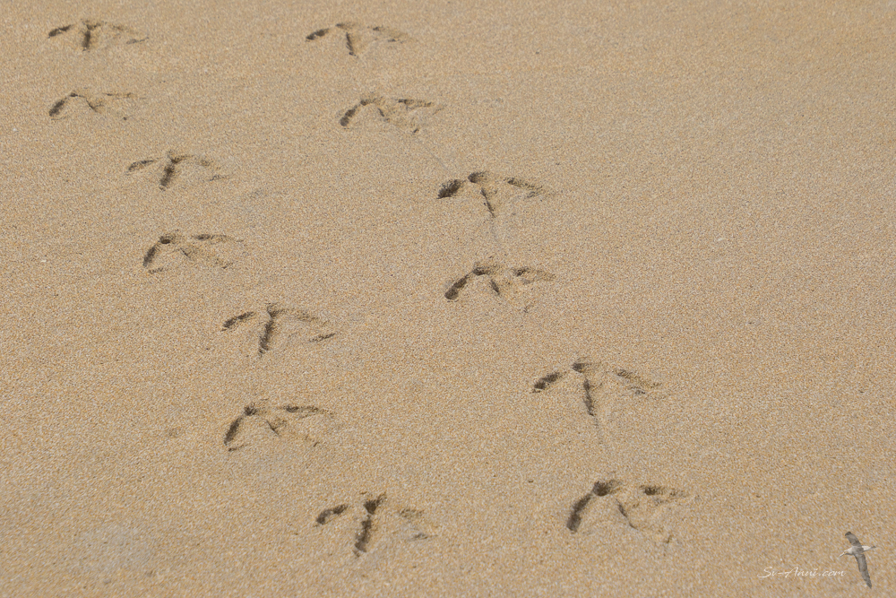
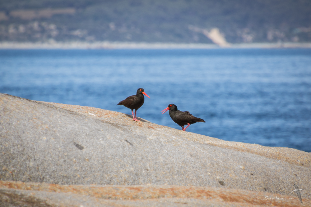
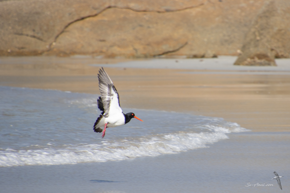
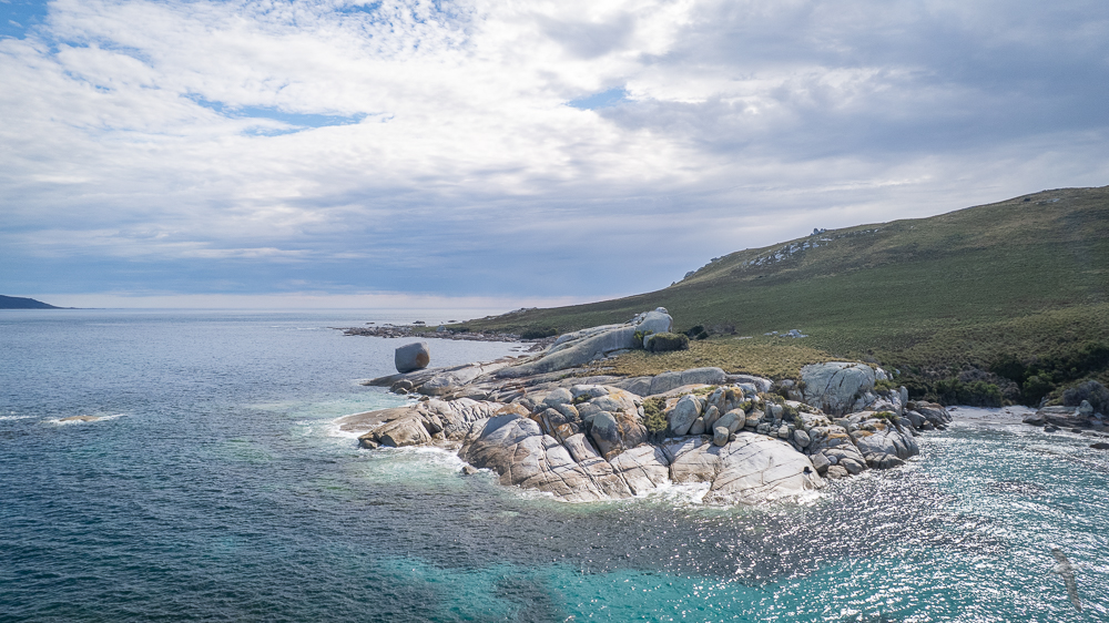
On Tuesday the northerly breeze had picked up slightly so we stayed at anchor for the day and explored the island, serenaded by the many Cape Barren Geese! The Inner Sister Island is one of the largest of the approximately 100 outer islands of the Furneaux Group in Eastern Bass Strait. Granite slabs and tors are prominent throughout the island, with dolerite dykes cutting across the granite platforms. It was fun exploring. There is a shed at one end of the beach and a dwelling on the saddle near a little airstrip. There was no one there, but the site is clearly well tended to. Apparently the island is used periodically for sheep grazing, and visited for seasonal muttonbirding (short-tailed shearwater harvesting). It is managed as part of the Sister Islands Conservation Area. We saw a multitude of birds: brown quails, Cape Barren geese, pied and sooty oystercatchers, hooded plovers, sea eagles and more.
Return to the Lakes
With hardly any breeze forecast for Wednesday, we were well positioned for a 2.00am departure towards Lakes Entrance, and our 110nm motor in nil wind. When we left the moon was up and the Milky Way was brilliant, right down to the water, like being in a snow dome of stars.
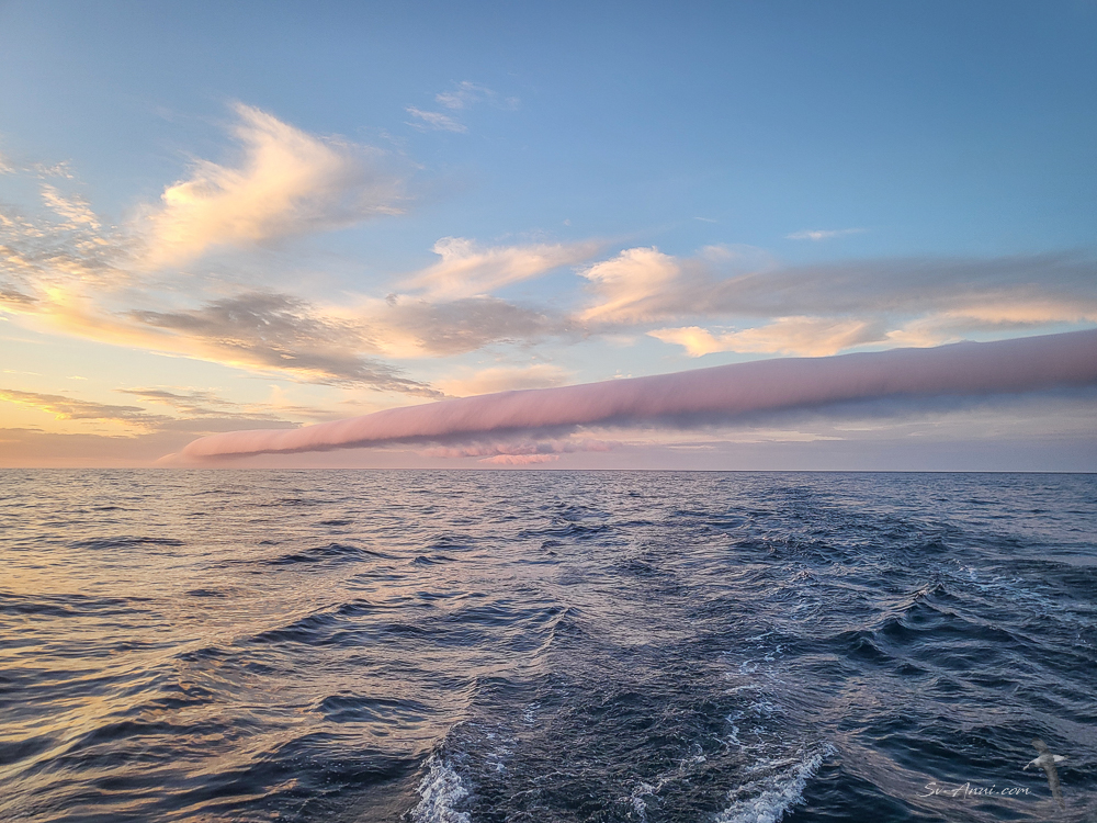
An interesting phenomenon in the wee hours of the morning was seeing something we had never observed before: a roll cloud. It is a rare, low level, tube like cloud which rolls along the sky horizontally without changing shape and is completely detached from other cloud features. We are told roll clouds form when a stable temperature inversion traps a shallow layer of cool air near the ground beneath warmer air.
Other than that it was not the most inspiring trip back. The ocean was flat as a tack. We raised the mainsail and jib for the last few hours, when the breeze picked up a little and we were accompanied by our usual visitors, the Shy Albatrosses and Dolphins.
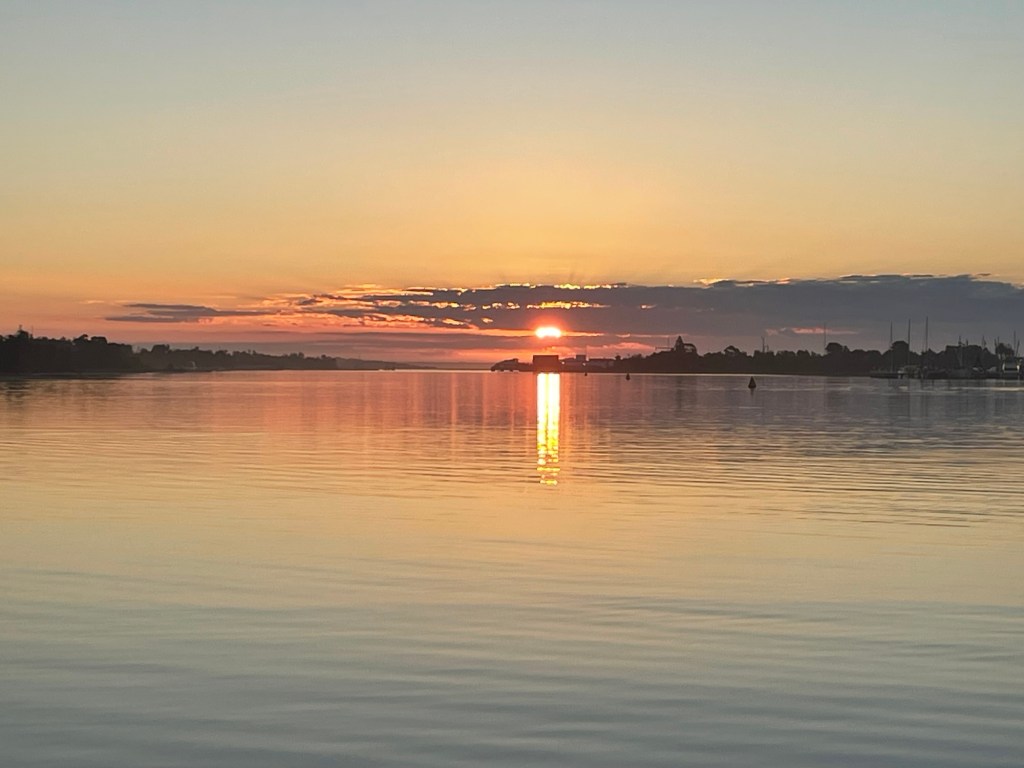
By 5.00pm we were back at Lakes Entrance after an uneventful Bass Strait and bar crossing. We picked up a public mooring in the Cunningham Arm, handy to town.
We have now topped up our diesel, water and food, ready to ride the SW change during the weekend and sneak around the corner into NSW, hopefully with the wind on our tail and enough breeze to sail. Join us next Friday, to see where we have got to!


